
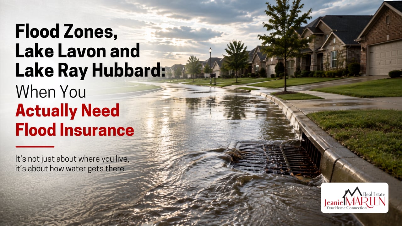
Do I need flood insurance if my North Texas home is not in a flood zone? Often yes. FEMA reports that more than 40 percent of flood insurance claims come from outside high-risk flood areas and homeowners insurance does not cover flood damage anywhere.
The easy version of this conversation is the flood plain. A house sits in Zone AE, the lender requires flood insurance, everybody knows the deal and the price already reflects it. That is not a hard story and it is not the one that costs people money.
The expensive version happens to people who were told they were fine.
Here is the thing about water in Rowlett, Rockwall, Lavon, Wylie and Sachse. It does not check the map first. It follows the creek it has always followed and when the creek is full it goes into the street and when the street is full it goes into the garage. None of that requires you to live on the lake.
The flood map answers a different question than the one you are asking
A FEMA flood map is a regulatory document. Its job is to tell a lender when insurance is mandatory. That is a narrower job than telling you whether your house can flood.
FEMA's own numbers make the point. More than 40 percent of NFIP flood insurance claims come from outside high-risk flood areas. Not a rounding error. Close to half.
Two other things worth sitting with. Flood maps are snapshots and they age. The map covering a given neighborhood may have been drawn before the subdivision upstream existed and every acre of roof, driveway and street that goes in upstream sends water downhill faster than the pasture it replaced. And "we have never flooded" is a statement about the last few years of weather not about the drainage.
Zone X is not a promise. It is a category.
You do not live on the lake. You live on a tributary.
This is the part that gets lost when people picture flood risk in our area because everyone thinks about the shoreline.
Lavon Lake is a U.S. Army Corps of Engineers reservoir built to impound the East Fork of the Trinity River and its tributaries, with flood control as a founding purpose. Its conservation pool sits at 492 feet, with the spillway at 503.5 feet. That gap is not decoration. It is storage and when the lake is holding water in it, that water eventually goes somewhere. Downstream, the East Fork runs south toward Lake Ray Hubbard.
Meanwhile Rowlett Creek rises west of McKinney and works its way through Plano, Richardson and Garland before emptying into Lake Ray Hubbard at Rowlett. Muddy Creek drains a good piece of Collin County toward the same system.
So the honest picture is not a ring of risk around two lakes. It is a branching network of creeks and their unnamed feeder branches threading through neighborhoods in Sachse, Murphy, Wylie, Garland and Rowlett, most of them nowhere near open water, many of them running behind fences in what looks like a greenbelt.
If there is a drainage easement, a creek, or a low spot behind your house, you are on the system whether or not you can see a lake from your porch.
What your storm drains are actually built to handle
This is the number I wish every homeowner in North Texas knew because it reframes everything.
Storm drainage here is designed as two systems, not one. The minor system is the pipes underground. The major system is the streets, the easements and the rights of way. Under the regional iSWM criteria that many North Texas cities follow, the enclosed pipe network is sized for a conveyance storm, defined as the 25-year event, while the 100-year event is meant to be contained within the right of way and easements.
Read that again. The streets are not failing when they fill with water. The streets are the plan.
Now the intensities, from the regional rainfall tables. At a one-hour duration:
Frequency | Collin County | Dallas County | Rockwall County |
|---|---|---|---|
2-year | 1.72 in/hr | 1.73 in/hr | 1.76 in/hr |
5-year | 2.22 in/hr | 2.24 in/hr | 2.27 in/hr |
10-year | 2.55 in/hr | 2.60 in/hr | 2.62 in/hr |
25-year | 3.00 in/hr | 3.07 in/hr | 3.08 in/hr |
100-year | 3.75 in/hr | 3.86 in/hr | 3.85 in/hr |
So the pipes under your street are generally sized for something in the neighborhood of three inches in an hour. And the 100-year storm, the one people talk about like it is biblical, is under four inches in an hour.
That is a much smaller number than most people assume. When one of these thunderstorms parks over Wylie and drops four or five inches in ninety minutes, it is not that the drainage failed. It is that the storm exceeded what any of it was built for. The water has to go somewhere and where it goes is determined by your curb height, your lot grade and how far your slab sits above the street.
Two more caveats. These are the criteria for newer development. A neighborhood platted in the 1970s or 1980s was built to whatever the standard was then, which was frequently less. And the design assumes the inlets are clear.
Which brings us to the part nobody warns you about.
The construction site next door is a drainage problem
Drive through any active subdivision in Lavon, Royse City, Princeton or the newer sections of Wylie and look at the curb inlets. You will see gravel bags, silt socks, or fabric wrapped over them.
That is inlet protection and it is required. It keeps construction sediment out of the storm system and out of the creeks. It is genuinely good environmental practice and I am not arguing against it.
But understand what it does because the engineering guidance is explicit about it. Inlet protection works by temporarily ponding runoff so sediment settles out before the water enters the drain. Ponding is the mechanism. It is supposed to hold water back.
The guidance is equally explicit about the limits. These devices are intended for drainage areas of roughly an acre or less. Sediment removal may be inadequate in high flow conditions. And critically, water ponded by an inlet protection device may flow around it toward the next inlet downstream, which the manuals warn can cause serious erosion or downstream property damage.
The standard also calls for inspection weekly, before forecast rain, daily during extended rain and again afterward, with the protection removed once the site is stabilized.
Now think about how that plays out in practice. A crew installs the protection. The site sits between phases. Nobody inspects it before the storm. The fabric is already loaded with silt from three weeks of dirt work. A four-inch-an-hour storm arrives. The inlet that was already restricted by design is now effectively closed and several acres of water that had one place to go finds another.
The place it finds is downhill. Sometimes that is a retention pond doing its job. Sometimes it is the established street below the new section.
If you live downhill from active construction, this is worth your attention. Look at the inlets on your street and the streets above you after a dirt-work phase. Photograph them. If they are clogged, call the city's engineering or public works department, not the builder. The city is the one with the permit leverage.
And if you are buying in a new subdivision where phases two and three have not been built yet, understand that the drainage you are seeing today is not the drainage you will have in three years. I go through what to ask on a new build in 9 Questions to Ask During a New Construction Walkthrough Before You Sign Anything and grading is on that list for a reason.
Not required and not at risk are two different things
Here is where the insurance piece lands and it connects directly to what I wrote about in Insurance Is the Third Rail of North Texas Affordability.
Your homeowners policy does not cover flood. Not partially, not for a little water. FEMA states it plainly: most homeowners and renters policies do not cover flood damage and only flood insurance protects the building and its contents from a flood event.
The dollars are worse than people expect. FEMA puts the damage from a single inch of water at roughly $25,000. One inch. That is a policy premium many times over.
And there is a clock. A new NFIP policy typically carries a 30-day waiting period before it takes effect. You cannot watch a forecast and buy coverage on Thursday for a Saturday storm. If you are going to do this, do it on a quiet week.
Flood insurance outside a high-risk zone is also considerably cheaper than inside one, which is the part that surprises people most. If you are in Zone X and downhill from anything, get a quote before you decide it is not worth it. You are pricing a decision, not committing to one.
What to actually do
If you are buying: Pull the FEMA map for the specific address, then stop trusting it and look at the topography. Where does the lot sit relative to the street? Is there a creek, culvert or drainage easement on or behind the property? Walk it after a hard rain if you possibly can. Ask the seller directly whether water has ever entered the garage, the yard, or the house and get the answer in writing on the disclosure.
If you already own: Find out how far your finished floor sits above the street. Keep the inlets near your house clear, especially in fall when leaves drop. Know where water goes when your street floods. And price a flood policy once, so you are making an informed choice rather than an assumption.
Frequently asked questions
Is flood insurance required if I am not in a flood zone in Texas? No. Lenders require it only for homes in a Special Flood Hazard Area. But requirement and risk are different things and FEMA reports more than 40 percent of claims come from outside high-risk areas. In Zone X the coverage is generally much less expensive, which is worth knowing before you dismiss it.
How much rain can North Texas storm drains handle? Under the regional design criteria many local cities follow, the enclosed pipe system is sized for roughly a 25-year storm, which at a one-hour duration works out to about three inches per hour across Collin, Dallas, and Rockwall counties. Streets and easements are designed to carry the overflow up to the 100-year event, which is still under four inches in an hour.
Can construction next door cause my house to flood? It can contribute. Required inlet protection at construction sites works by ponding water, and if those devices are clogged or unmaintained when a heavy storm hits, runoff can be diverted toward downstream properties. If you see blocked inlets near active construction, report them to your city's public works or engineering department.
If you found this useful, read these next
- What Lake Living Really Looks Like in Rowlett, TX covers what buyers actually get and give up near Lake Ray Hubbard, beyond the view.
- Living in Elevon Near Lake Lavon in Lavon TX walks through one of the fastest growing communities in the Lavon Lake watershed, where much of this new construction drainage question is live right now.
If you are looking at a house anywhere near a creek, a greenbelt, or an active construction phase in Rowlett, Rockwall, Lavon, Wylie, or Sachse, walk it with me before you write the offer. Drainage is one of the few things about a house that you genuinely cannot fix later.
Jeanie Marten Real Estate is a brokerage, not an engineering firm or an insurance agency. For a specific property, an elevation certificate and a licensed insurance agent will give you answers I cannot.
Visit MartenTeam.com or book a consultation.